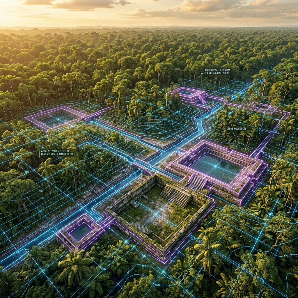
A high-resolution LiDAR (Light Detection and Ranging) survey conducted in the Amazonas region of northern Peru has revealed an extensive network of pre-Incan irrigation canals and stone-lined reservoirs. These structures, hidden beneath dense canopy for centuries, demonstrate a level of sophisticated hydraulic engineering that allowed the Chachapoya culture to sustain large populations in high-altitude environments nearly 3,000 meters above sea level.
The mapping covers over 200 square kilometers and shows how water was diverted from glacial meltwater streams to terraced agricultural fields through a series of gravity-fed channels. This discovery challenges earlier assumptions that these mountain civilizations relied solely on seasonal rainfall, highlighting a massive labor effort to manage water resources across the rugged Andean terrain.