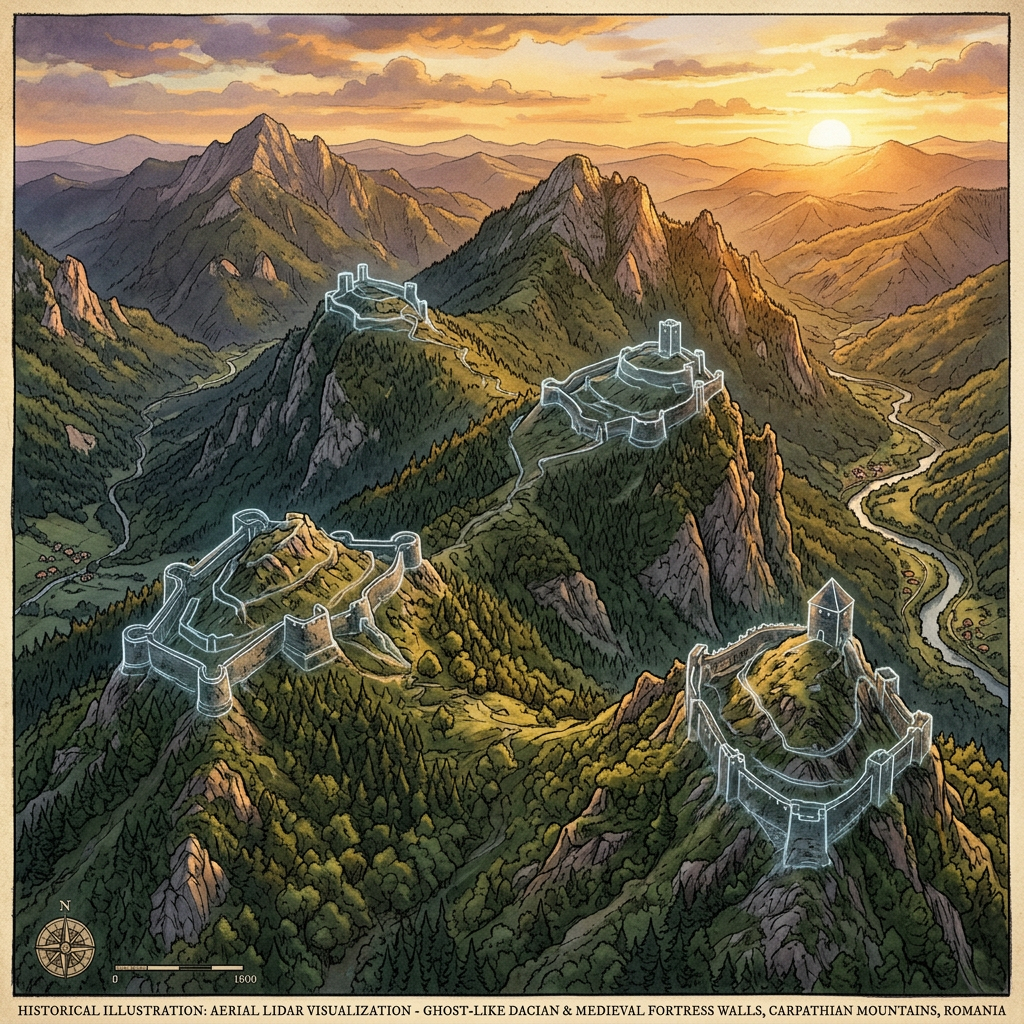
A massive remote sensing project in the Transylvanian Alps has revealed a vast, interconnected network of Dacian fortifications that were previously hidden by dense forest. The LiDAR data shows over 50 fortified hilltop sites connected by a system of terraced roads and watchtowers.
The scale of this defense network suggests a much more centralized and powerful state than historians had attributed to the Dacian tribes prior to their conflict with Rome. The findings indicate a sophisticated military doctrine based on high-altitude surveillance and rapid troop movement between peaks.