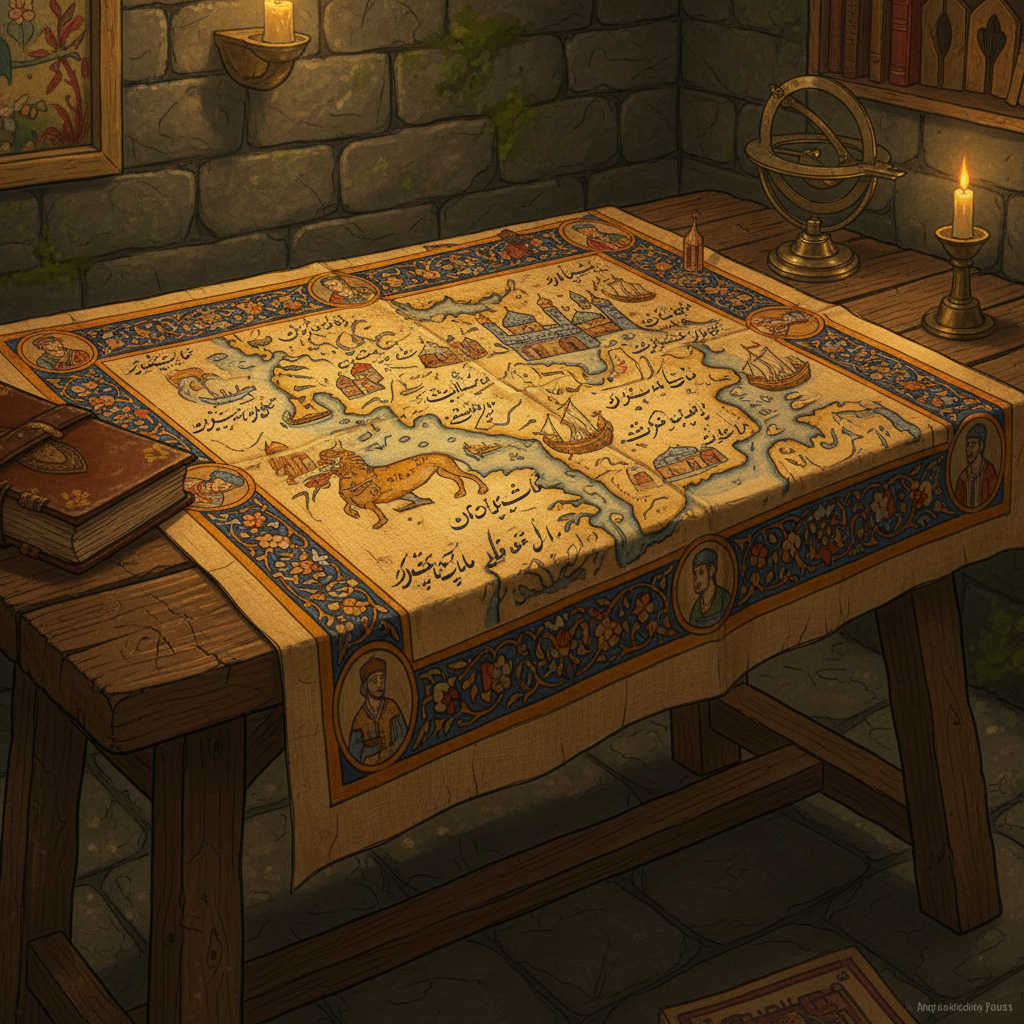
During structural restoration at the Agra Fort, engineers stumbled upon a concealed vaulted room behind a false wall in the Akbari Mahal. The chamber served as a private map-making studio for imperial cartographers during the reign of Akbar the Great. Inside, researchers found several large-scale charts painted on cotton cloth, depicting the topography of the Deccan Plateau and detailed routes to the ports of Gujarat.
The maps are notable for their advanced survey techniques, utilizing a grid system that suggests a sophisticated understanding of terrestrial geometry long before European colonial mapping. The discovery also included several brass instruments used for celestial navigation. Historians state that this find proves the Mughal Empire had a much more systematic approach to territorial administration and geographic data collection than was previously documented.