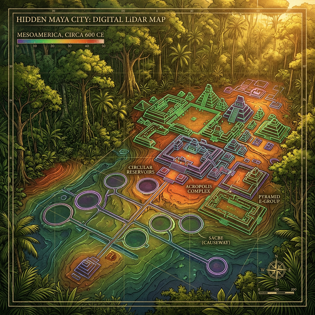
Utilizing high-frequency LiDAR (Light Detection and Ranging), a team of archaeologists has mapped a massive, hidden infrastructure network beneath the dense canopy of Mexico's Northern Puuc region. The survey identified over 300 previously unknown 'chultunes' (underground cisterns) linked by a sophisticated system of stone-lined channels. This discovery reveals that the Maya of this arid region had developed a much larger and more integrated water-management system than previously estimated to support their burgeoning urban populations.
The LiDAR data also led ground teams to the entrance of a hidden cave temple complex located nearly 50 meters below the surface. The temple contains intact polychrome ceramics and a series of stalactites that were carved into the likenesses of the rain god Chaac. Researchers believe this subterranean sanctuary was used for elite ritual offerings during periods of severe drought, highlighting the existential link between water management and religious practice in Maya society.