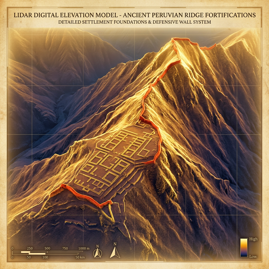
A LiDAR survey conducted over the rugged Cajamarca region of Peru has unveiled a massive fortified mining megastructure attributed to the Chimú Empire. The aerial mapping revealed hundreds of terraced worker dwellings, defensive walls, and subterranean tunnels that were previously hidden under dense vegetation. This complex represents one of the largest pre-Columbian industrial operations ever identified in the high-altitude Andes.
Data from the survey indicates that the Chimú implemented a rigorous administrative network to oversee copper extraction, including stone-paved roads connecting the mines directly to coastal processing centers. The discovery challenges previous assumptions about the extent of Chimú territorial control in the highlands and their capacity for large-scale metallurgical logistics prior to the Inca conquest.