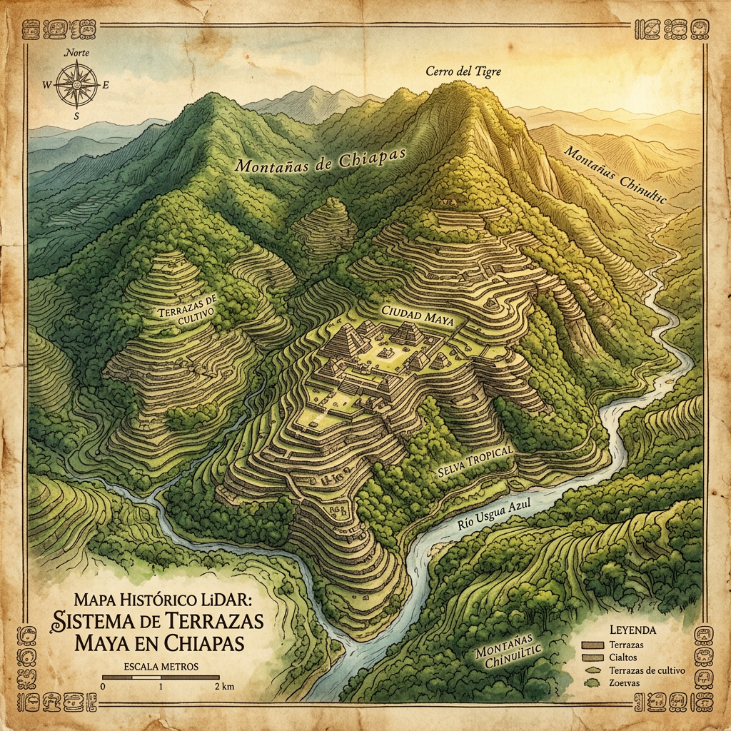
Using advanced LiDAR (Light Detection and Ranging), researchers have mapped a massive complex of 'aerial gardens' built into the steep limestone cliffs of the Chiapas highlands. These gardens consist of narrow, fortified stone terraces that appear to 'hang' over the valley floor, connected by an intricate system of high-altitude gravity aqueducts that funneled rainwater from the peaks into central agricultural hubs.
This discovery challenges the notion that the Maya primarily focused on lowland agriculture. The LiDAR data shows that this highland city supported a population of thousands through intensive vertical farming. The site remains largely inaccessible by foot, but the 3D mapping reveals a central plaza with a limestone observatory aligned with the zenith passage of the sun, indicating the site was also a significant ritual center.