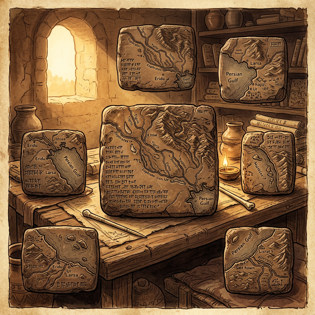
Archaeologists working in the ancient city of Sippar have discovered a dedicated archive room that served as an early center for map-making. The find includes a collection of clay relief tablets that represent a systematic attempt to map the coastline of the 'Upper Sea' (the Mediterranean). Unlike earlier schematic diagrams, these maps use raised ridges to denote mountain ranges and incised lines for river deltas with surprising accuracy.
Professor Ammar Al-Basri, the lead researcher, noted that the academy likely trained royal messengers and military scouts. The tablets contain cuneiform annotations regarding distances between freshwater springs and fortified outposts, suggesting that the Babylonian state maintained a rigorous topographical record to manage long-distance trade and strategic movement across Mesopotamia.