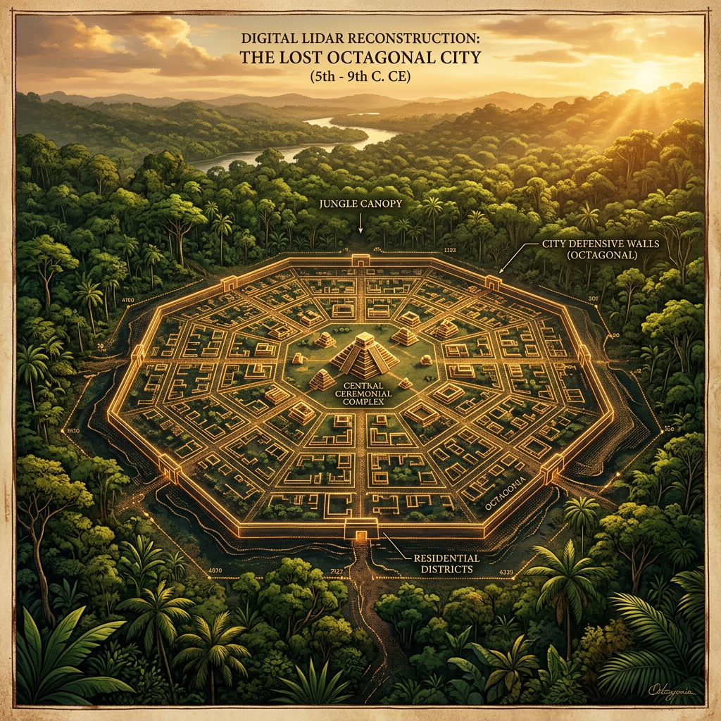
A joint team of international and local researchers has utilized LiDAR technology to peer through the dense jungle canopy of southern Myanmar, uncovering a sprawling urban center belonging to the Mon culture. The site, dating to approximately 800 CE, features a massive octagonal defensive wall, a complex system of internal canals, and several dozen previously unknown brick structures.
The discovery of this 'Lost Forest Citadel' significantly expands our understanding of the Mon civilization’s influence and urban planning capabilities before the rise of the Bagan Empire. The geometric precision of the city's layout suggests sophisticated surveying techniques and a centralized administrative authority. Excavations at the site have already uncovered ornate terracotta panels depicting Buddhist mythology.