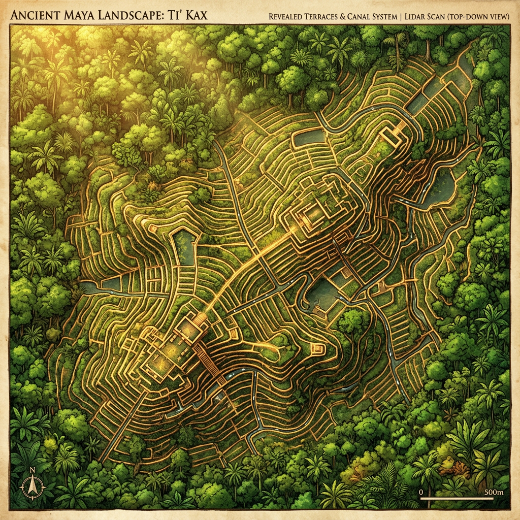
A new LiDAR survey across the Mayan lowlands has revealed a vast, 3,000-year-old network of managed forests and terraced wetlands designed for sustainable agro-forestry. The study, published in Environmental Archaeology, suggests that the Maya practiced a form of 'carbon management' by selectively planting species that provided food while maximizing soil fertility and water retention. These systems were far more extensive than previously believed, supporting massive urban populations without depleting the environment.
The findings indicate that the ancient Mayan civilization had a deep understanding of forest ecology and climate resilience. Researchers argue that these ancient techniques could provide valuable insights for modern sustainable farming and climate mitigation strategies in tropical regions today.