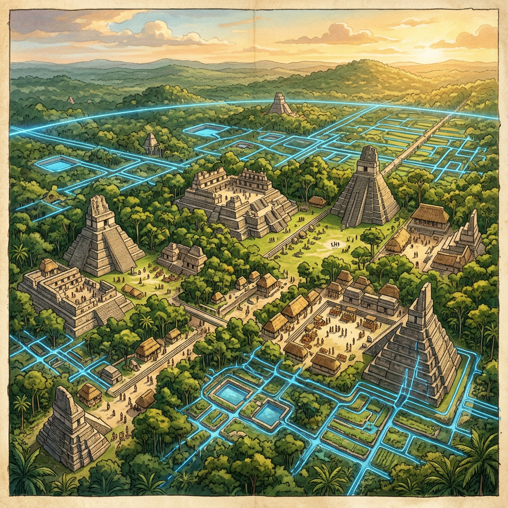
Archaeologists utilizing high-resolution LiDAR technology have announced the discovery of an unprecedented Maya water-filtration mega-structure hidden beneath the dense canopy of the Petén Basin in Guatemala. The survey revealed a sprawling network of limestone reservoirs lined with layers of imported crystalline quartz and zeolite, substances capable of removing microbes and heavy metals from the urban water supply. This site, dated to the Late Classic period, represents the largest-scale environmental engineering project identified in the ancient Maya world to date.
Researchers believe the filtration system was designed to combat the toxic effects of cinnabar and mercury used in royal murals and rituals, which frequently leached into the city's aquifers during seasonal floods. The discovery of volcanic ash deposits within the filter beds suggests the Maya were importing specific minerals from the highlands to ensure the purity of their drinking water. This finding significantly shifts our understanding of Maya urban planning and their sophisticated response to environmental challenges.