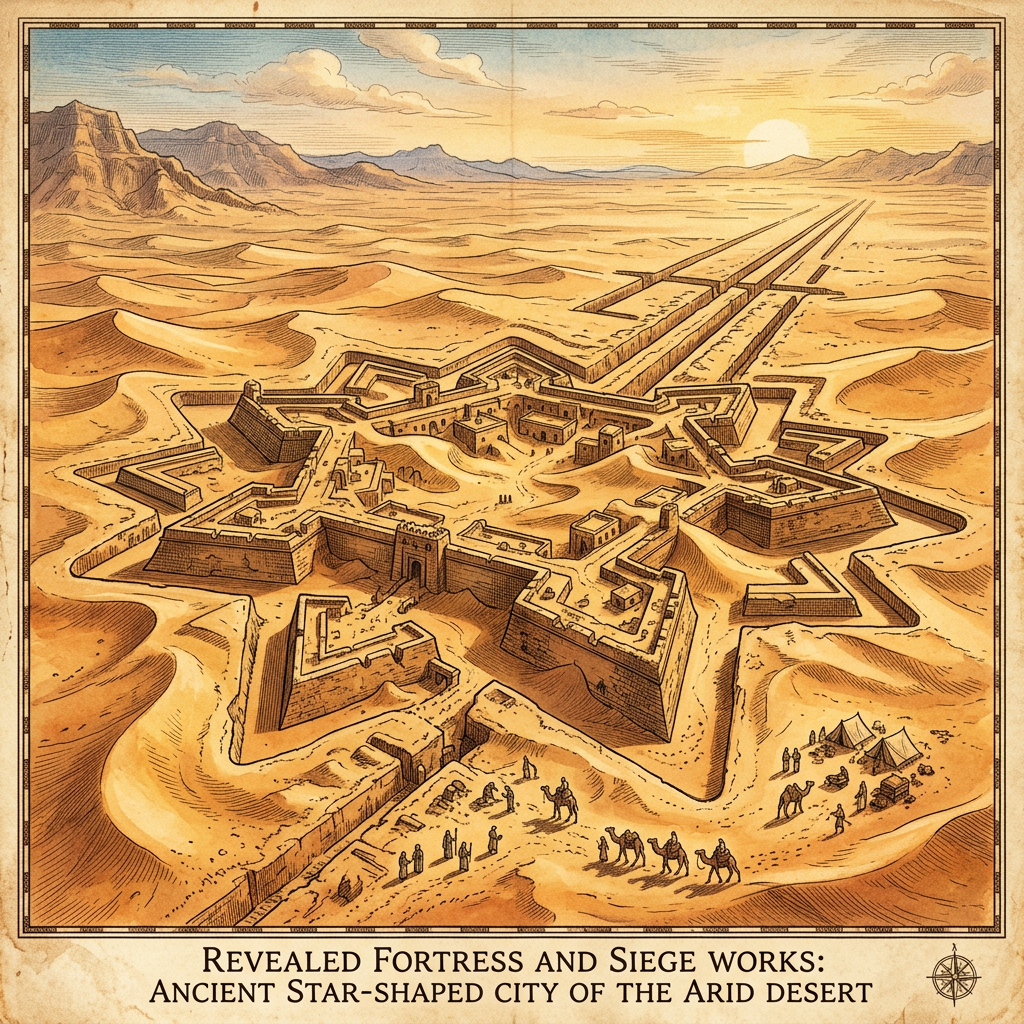
A remote sensing expedition using long-range LiDAR has mapped a substantial lost city deep within the Gobi Desert, believed to be an unrecorded regional capital of the Kingdom of Khotan. The city, which flourished during the 6th century CE, features a unique star-shaped defensive wall and an intricate network of underground irrigation spurs that funneled glacial meltwater from distant mountains into a series of urban orchards and vineyards.
The LiDAR imagery shows a central administrative district with several large halls and a marketplace that likely served as a primary stop for caravans traveling between India and China. The preservation of the subterranean water channels—some extending for miles beneath the dunes—demonstrates an extraordinary mastery of hydraulic engineering in one of the world's most arid environments. This discovery provides a new anchor point for understanding the logistical density of the northern Silk Road.