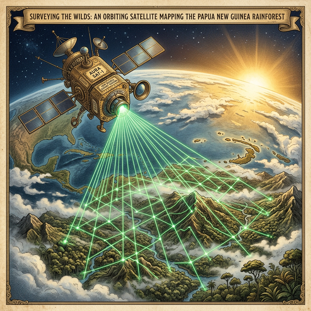
UNESCO, in collaboration with the European Space Agency (ESA), has officially launched Project Aether, a pioneering initiative that utilizes high-frequency quantum LiDAR technology to survey the dense, unmapped rainforests of Papua New Guinea. This project aims to identify and document prehistoric settlement patterns and agricultural terraces that have remained hidden beneath the primary rainforest canopy for millennia. By bypassing the limitations of traditional laser scanning, the quantum-enhanced sensors can penetrate multiple layers of vegetation to reveal high-resolution topographical anomalies.
The initiative is part of a broader 2026 strategy to leverage space-borne technology for the protection of heritage sites in difficult-to-reach terrains. Researchers believe these findings will provide critical evidence for the 'Garden City' theories of Melanesia, suggesting that ancient populations managed the forest in much more sophisticated ways than previously understood. The data collected will be used to establish new protected heritage zones to prevent illegal logging from encroaching on yet-to-be-excavated cultural remains.