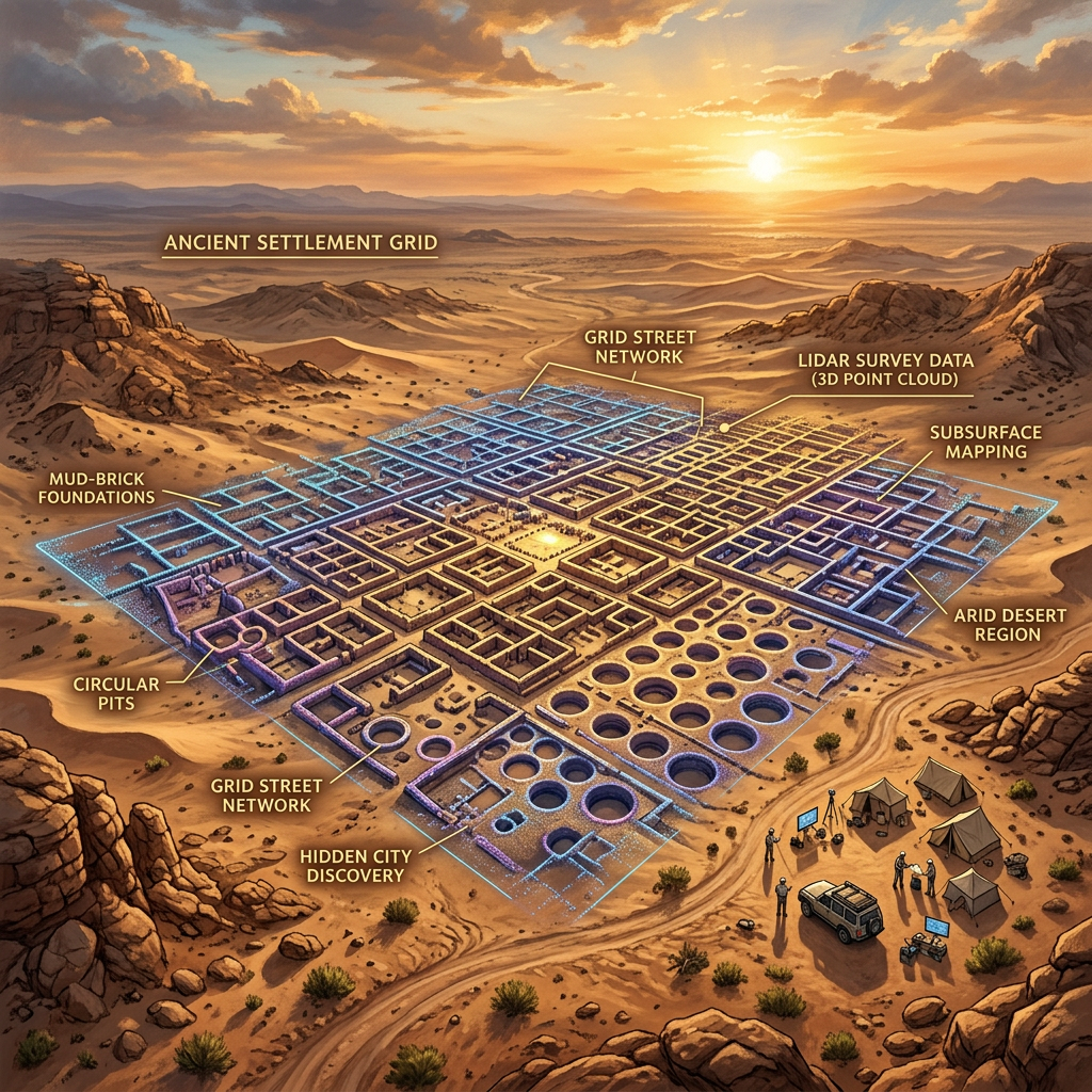
New high-resolution LiDAR surveys conducted in the rugged outskirts of New Mexico's Chaco Canyon have identified a previously unknown urban center focused on large-scale salt production. The mapping revealed a sophisticated grid of over 300 residential structures, ceremonial plazas, and a complex system of artificial evaporation ponds connected by paved roads.
Archaeologists believe this industrial metropolis was the primary source of salt for the Ancestral Puebloan world during the late first millennium. The discovery challenges previous models of regional trade, suggesting that salt production was more centralized and economically significant than once thought, supporting a much larger population than previously estimated.