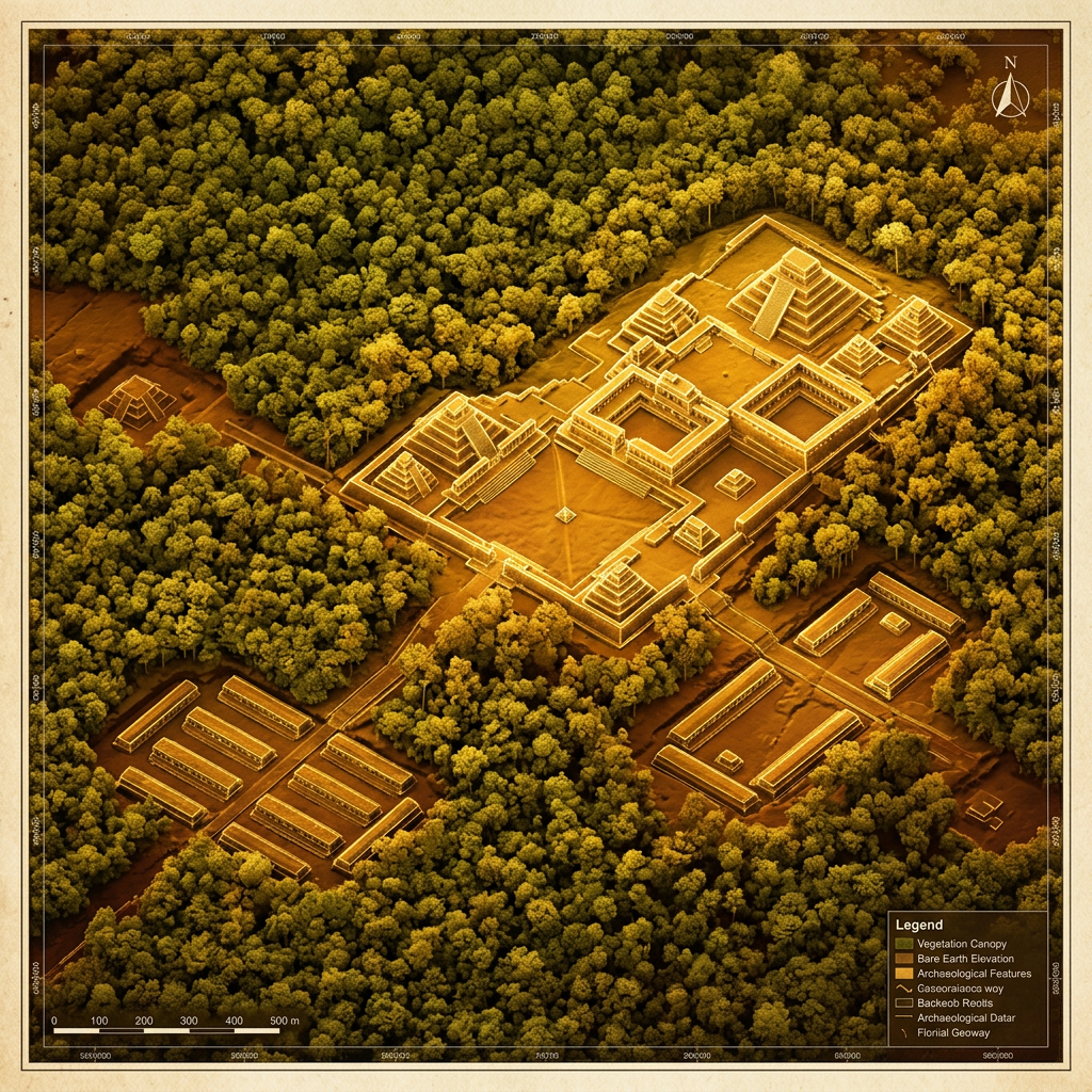
A breakthrough LiDAR (Light Detection and Ranging) survey over the dense jungles of northern Guatemala has identified a sprawling urban complex dedicated to military training. Labeled the 'Citadel of the Jaguar Warriors,' the site features a massive central plaza flanked by long, low barracks and what archaeologists believe were tactical training grounds designed to simulate jungle warfare. The discovery suggests that the Maya possessed a highly formalized and institutionalized approach to military education during the Late Classic period.
The LiDAR data revealed a network of fortified watchtowers and a three-mile-long defensive rampart surrounding the academy. Preliminary ground surveys have already uncovered caches of obsidian spearheads and ritual stone maces. Researchers from the University of Arizona state that this site served as a strategic hub for the regional superpower of Tikal, providing a steady stream of elite soldiers to manage its expanding borders and rivalries with neighboring city-states.