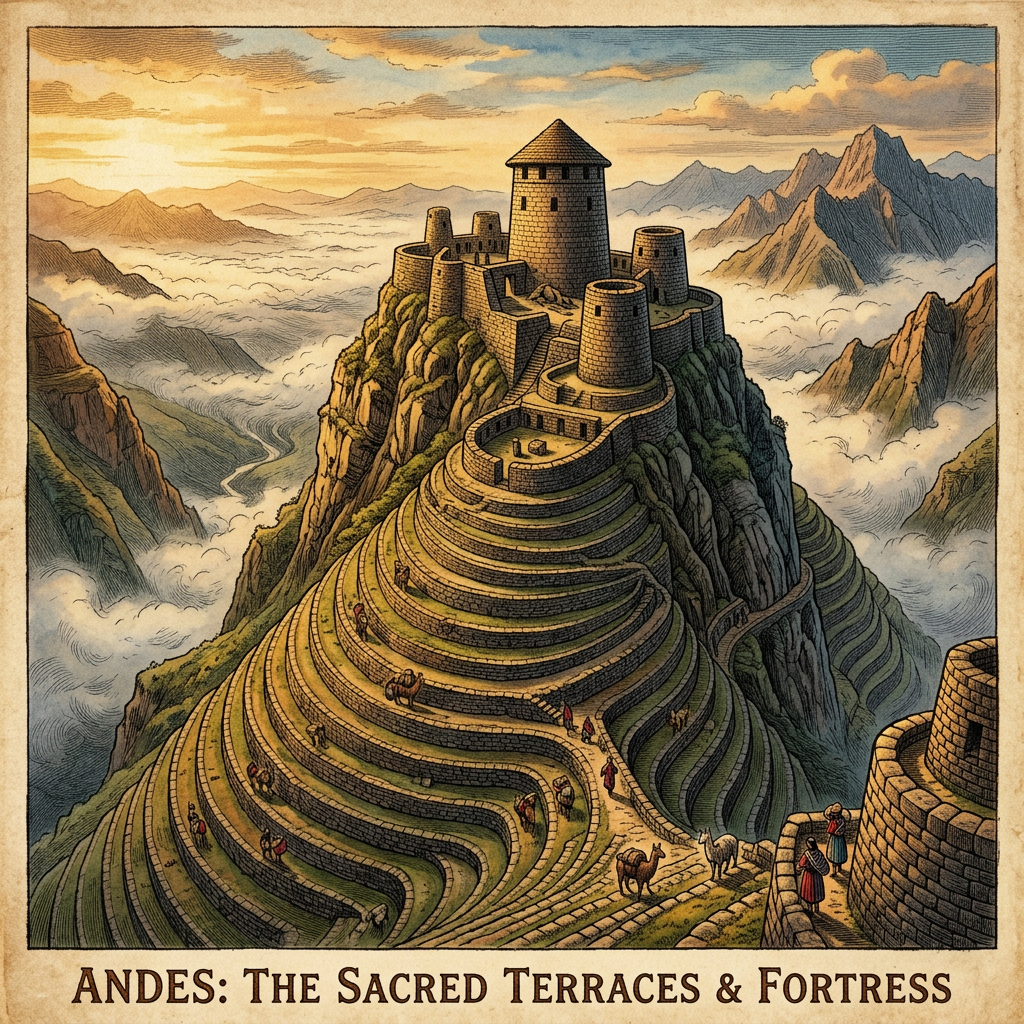
A high-resolution LiDAR survey over the rugged cloud forests of northern Peru has identified a massive, previously unknown agricultural complex belonging to the Chachapoyas culture. The mapping reveals over 500 individual farming terraces carved into nearly vertical mountain slopes, supported by a sophisticated network of stone-lined irrigation channels. At the summit of the complex, archaeologists identified a cluster of circular stone silos used for long-term grain storage.
This "mega-hub" suggests that the Chachapoyas, often known as the "Warriors of the Clouds," had a much higher population density and more advanced high-altitude engineering than previously estimated. The LiDAR data also pinpointed several defensive watchtowers positioned to overlook the agricultural zones, indicating the strategic importance of food production in the contentious borderlands between the Andes and the Amazon basin.