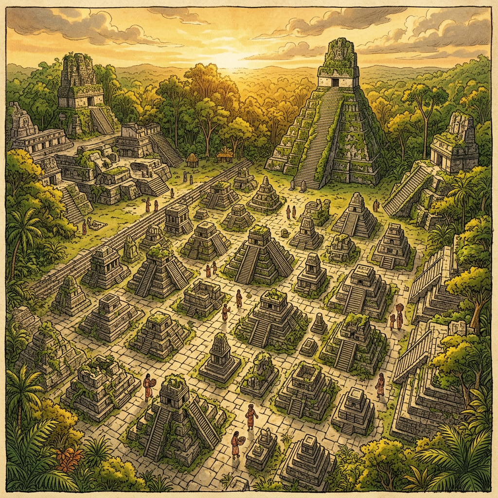
New LiDAR mapping conducted in the dense jungles of the Puuc Hills has revealed a massive educational complex dedicated to the training of Maya master builders. The site, characterized by its unique concentric residential wings, centered around a grand plaza containing dozens of miniature stone models of various pyramidal and palace structures.
Researchers believe this 'Architectural University' served as a centralized hub for engineering and design during the Terminal Classic period. The stone models appear to be scaled blueprints used to teach structural stability and astronomical alignment to apprentice architects, explaining the remarkable consistency found in regional Puuc-style masonry across the Yucatan Peninsula.