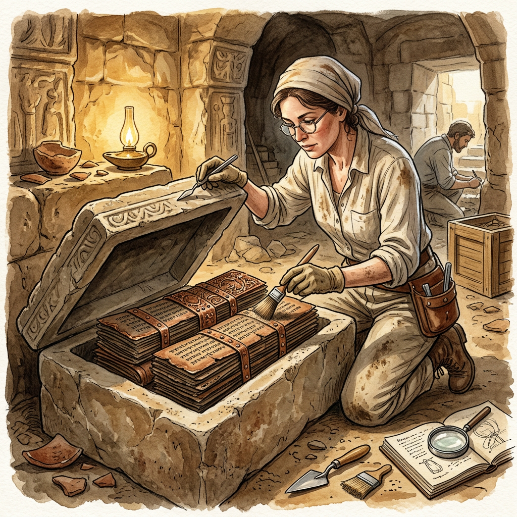
During a structural preservation project at a remote brick temple in the Mahasamund district, workers discovered a concealed niche within the temple's Adhisthana (base). Inside was a stone reliquary containing several copper-bound palm-leaf manuscripts. Initial decipherment by epigraphists has revealed that these are not religious texts, but rather "Sacred Cartographies" or river maps of the Mahanadi basin during the 8th century.
These maps detail the locations of river ports, forest trade outposts, and other contemporary temple sites that have long since been lost to time. The use of copper plates to protect the fragile palm leaves suggests the immense value placed on this geographical knowledge. Experts believe these maps were maintained by merchant guilds who patronized the temple, serving as a navigational and economic guide for the region's inland trade networks.