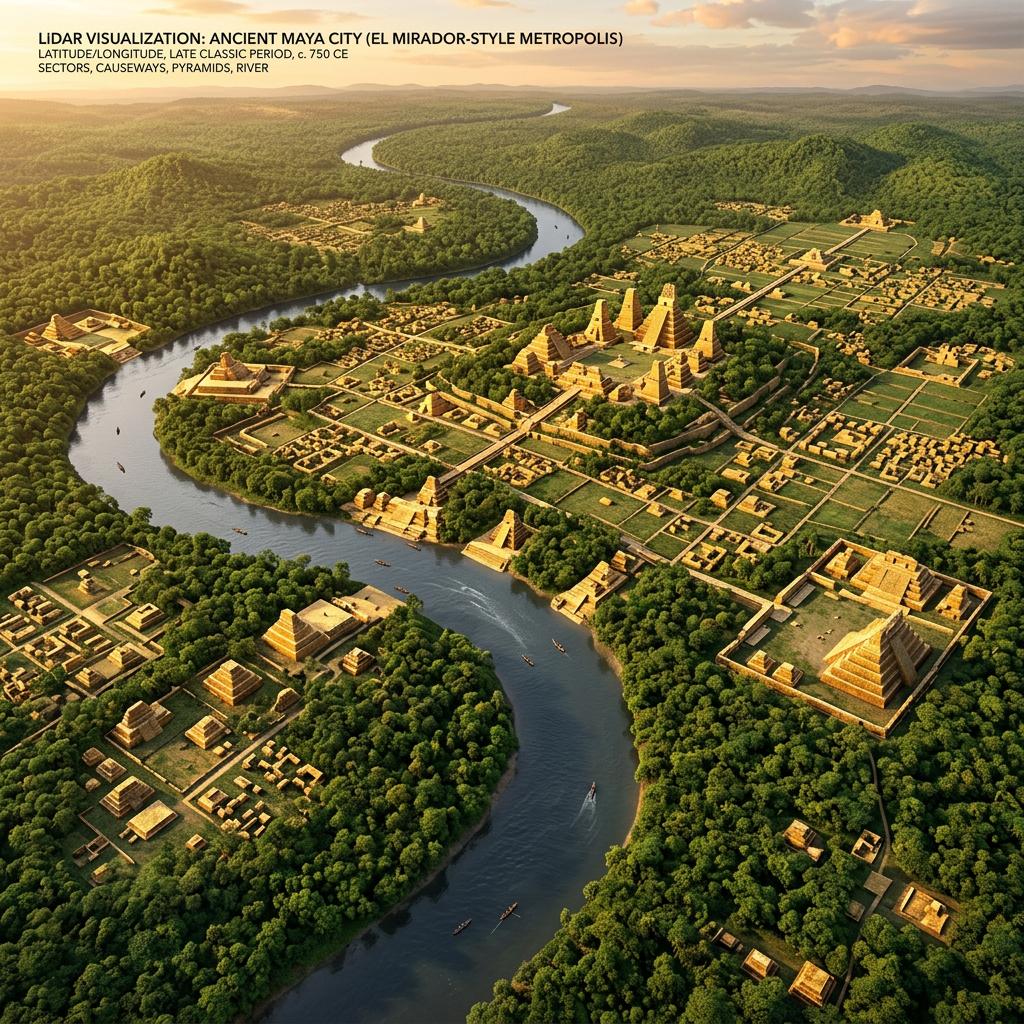
A breakthrough LiDAR survey conducted in the dense jungles of the Upper Usumacinta Basin has identified a sprawling 9th-century Maya complex dedicated to riverine trade and taxation. The site, which covers over 15 square kilometers, features a series of fortified stone wharves and unique river-gauging towers designed to monitor water levels and cargo flow. Researchers believe this outpost served as a critical customs hub for the transport of salt, cacao, and obsidian between the Guatemalan highlands and the Gulf coast.
The mapping reveals a highly organized urban grid, including administrative buildings and residential wards for high-ranking trade officials. Of particular interest are the remains of submerged stone pillars that likely supported massive wooden suspension bridges, allowing the Maya to regulate traffic across the volatile Usumacinta River. This discovery suggests that the Maya elite exercised far more centralized control over maritime logistics than previously thought, managing intricate trade routes that sustained the civilization during its Late Classic peak.