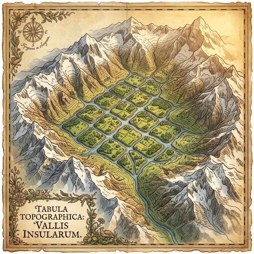
Using high-resolution LiDAR (Light Detection and Ranging) technology, researchers have mapped a vast, previously hidden landscape of the Muisca culture in the Bogotá Savanna of Colombia. The data revealed a sprawling 1,500-year-old network of raised agricultural fields and complex irrigation canals covering over 500 hectares of high-altitude wetland.
This massive hydraulic system supported a nearby urban grid consisting of hundreds of residential mounds and ceremonial plazas. The scale of the discovery suggests that the Muisca civilization possessed a much higher degree of centralized social organization and environmental engineering than previously documented in colonial-era accounts.