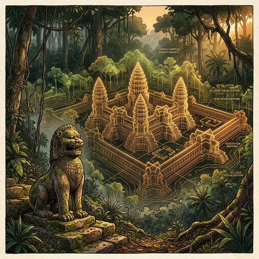
Using advanced LiDAR (Light Detection and Ranging) technology, the Angkor Archaeological Park Research Consortium has mapped a massive, previously unrecorded temple complex hidden under dense canopy in the remote Cardamom Mountains. Dubbed the 'Temple of the Three Peaks' due to its unique triple-shrine configuration, the site dates back to the early 10th century during the reign of Jayavarman IV. The temple is constructed primarily of high-quality sandstone and features a defensive wall over two meters thick.
Initial ground surveys have identified several colossal stone lion statues and a series of subterranean water channels that fed a ritual pond. The layout suggests that this was a significant regional religious and administrative center that operated outside the immediate orbit of the central Angkorian capital. Researchers believe the site was strategically positioned to control ancient trade routes between the gulf coast and the northern plains, offering a new perspective on the expansion of the Khmer Empire.