Archaeologists excavating the ancient city of Larsa in southern Iraq have discovered a significant administrative archive belonging to the Old Babylonian Bureau of Wetland Engineering. The cache of over 200 cuneiform tablets, dating to the reign of Hammurabi, provides an unprecedented technical look at how the Babylonian state managed the volatile marshes of the Euphrates Delta. The archive includes detailed hydraulic calculations for the construction of reed-and-bitumen levees designed to redirect seasonal floodwaters into agricultural reservoirs.
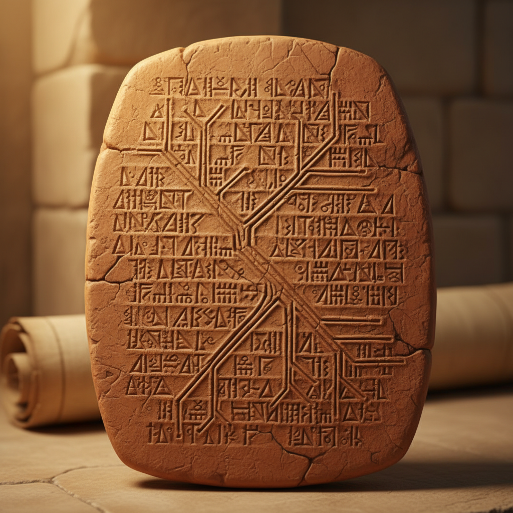
Crucially, the find includes several clay topographical maps that illustrate the layout of canal networks and the specific placement of sluice gates. These documents reveal that the Babylonians employed a sophisticated understanding of fluid dynamics to maintain soil fertility and prevent the salinization of the Mesopotamian floodplains. Historians at the British Museum note that these records represent the most comprehensive early manual for large-scale ecological engineering and disaster mitigation in the ancient Near East.