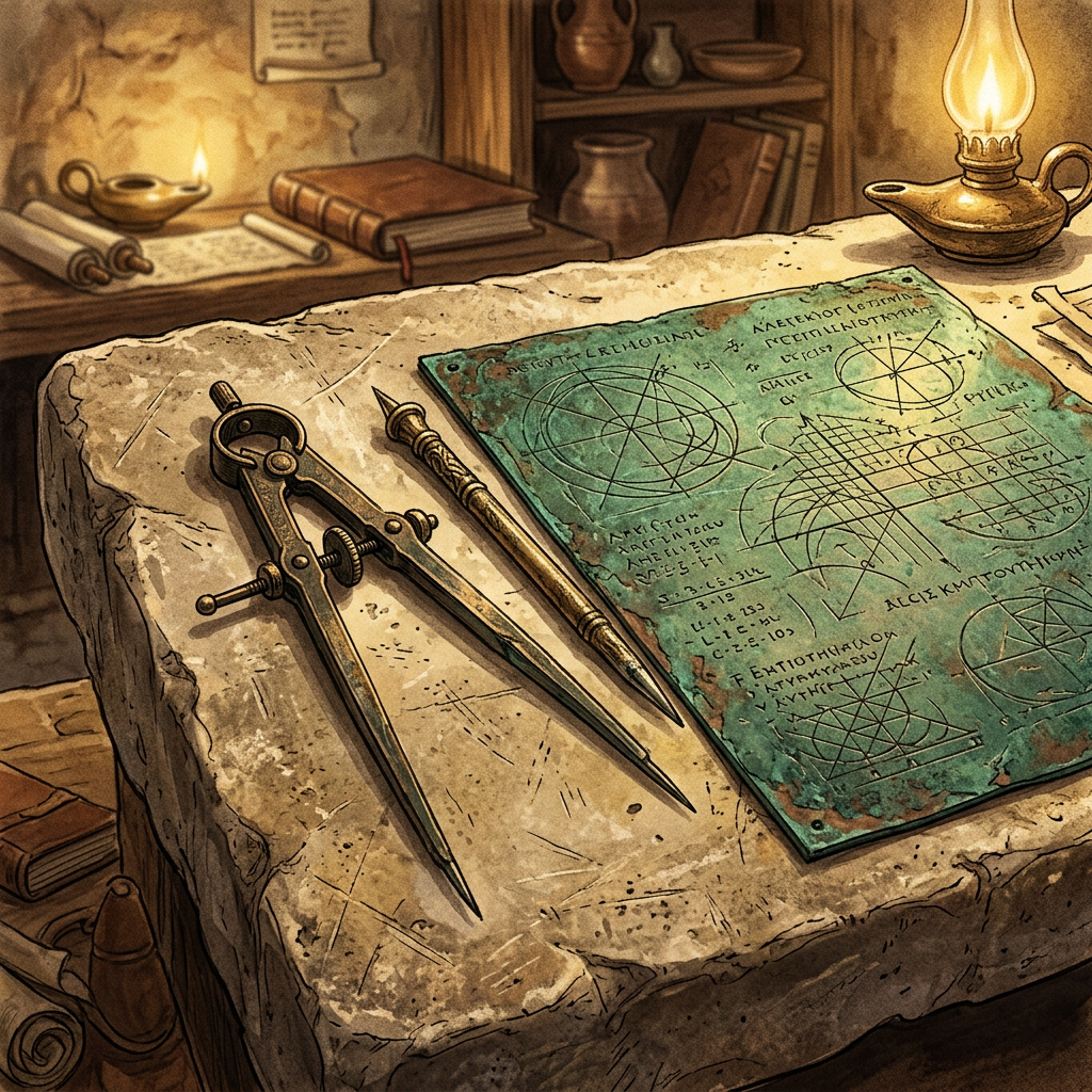
During excavations in the ancient city of Iader (modern-day Zadar, Croatia), archaeologists have unearthed a 2nd-century CE workshop dedicated to the production of official Roman maps. The atelier is the first of its kind ever found, containing a complete set of bronze engraving styluses, compasses, and large copper plates featuring partially finished layouts of the Dalmatian coastline and local administrative boundaries.
The find offers an unprecedented look into the technical aspects of Roman cartography and land surveying. The presence of standardized measuring rods and wax tablets with geometric calculations suggests that this was a professional bureau authorized by the imperial government to record land ownership and military routes. The site was buried under a collapsed roof during a minor earthquake, which perfectly sealed the contents for nearly two millennia.