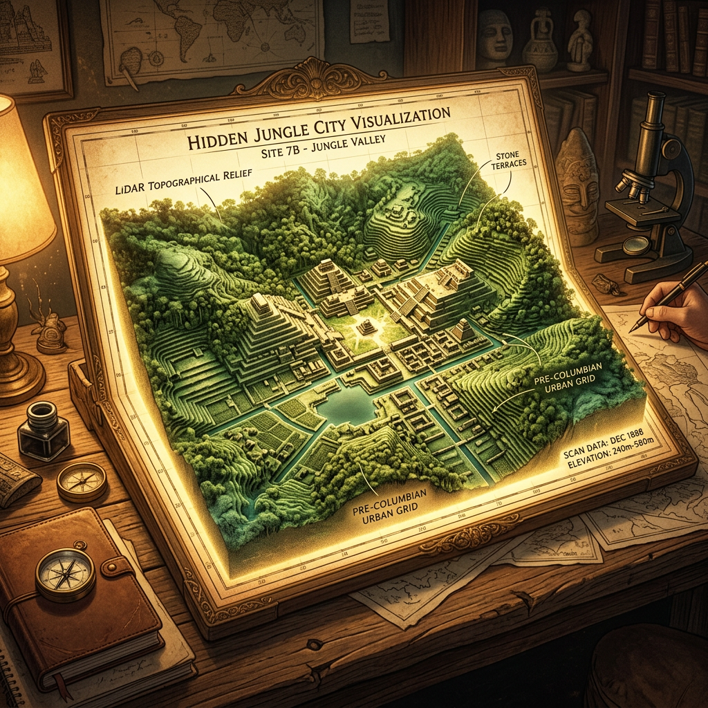
New LiDAR (Light Detection and Ranging) surveys conducted over the dense jungles of the Darién Gap have unveiled a sprawling pre-Columbian urban network. Attributed to the "Cuna-Chibchan" culture, the site features a massive high-altitude terrace-hydrology network spanning over 15 square kilometers. This infrastructure allowed ancient populations to farm steep volcanic slopes by utilizing a series of sun-aligned stone sluices and gravity-fed reservoirs.
The digital maps show thousands of residential foundations connected by paved causeways that lead to a central ceremonial hub. Unlike the Maya cities to the north, these settlements show a unique concentric design intended to maximize water catchment during the tropical rainy season. This discovery confirms that the Darién Gap was not a barrier but a center of significant cultural and technological innovation 1,200 years ago.