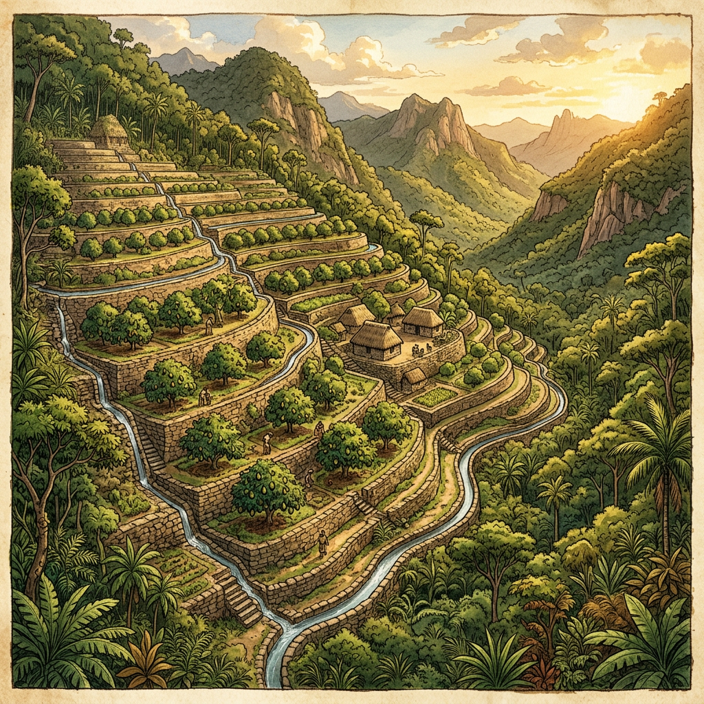
The Mesoamerican Mapping Project has published a breakthrough LiDAR survey of the remote Chiapas jungle, revealing a massive agricultural mega-complex dedicated to vertical avocado-cultivation. Unlike the standard maize terraces seen elsewhere, these platforms feature a unique tiered gravity-fed irrigation system specifically designed to regulate root-level moisture for fruit-bearing trees.
The mapping covers over 15 square miles and identifies more than 500 individual cultivation platforms and stone-paved distribution hubs. This suggests that the Maya civilization maintained highly specialized orchard-cities that operated as commercial hubs for supplying high-status nutritional crops to the larger urban centers of the Petén Basin.