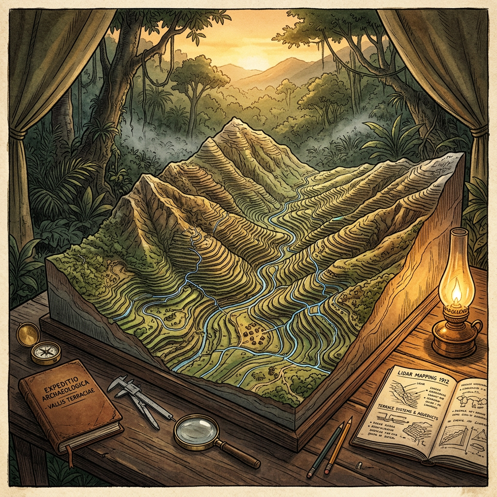
A breakthrough LiDAR survey in the Mirador-Calakmul Karst Basin of northern Guatemala has revealed a previously unknown agricultural complex dedicated to large-scale vanilla orchid production. The mapping technology penetrated the dense forest canopy to reveal vertical terrace systems equipped with specialized sluice-gates designed to maintain the high humidity levels required for orchid growth.
Archaeologists believe this 8th-century infrastructure represents a significant Maya industrial hub for luxury commodities. The site includes stone-lined curing rooms where vanilla beans were likely fermented before being traded across the Mesoamerican lowlands. This discovery redefines our understanding of Maya forest management and their ability to create micro-climate controlled environments for high-value crops.