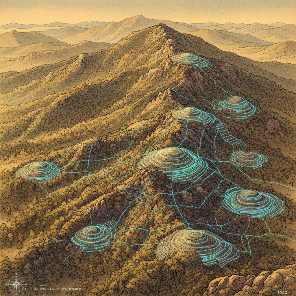
A groundbreaking study using LiDAR technology has mapped 178 confirmed prehistoric burial mounds in the rugged Serra do Laboreiro mountains along the Spain-Portugal border. These monuments form one of the densest concentrations of megalithic structures in Europe. The research reveals that ancient builders did not place these mounds randomly; instead, they selected locations based on specific natural features such as elevation and proximity to ridges.
Interestingly, the study found that total visibility was not a priority, suggesting the mounds were not intended for territorial surveillance. Instead, they served to transform natural geography into a cultural and social map for Neolithic communities. The use of laser pulses to penetrate dense vegetation allowed researchers to identify hundreds of previously unrecorded sites that had been obscured for millennia.