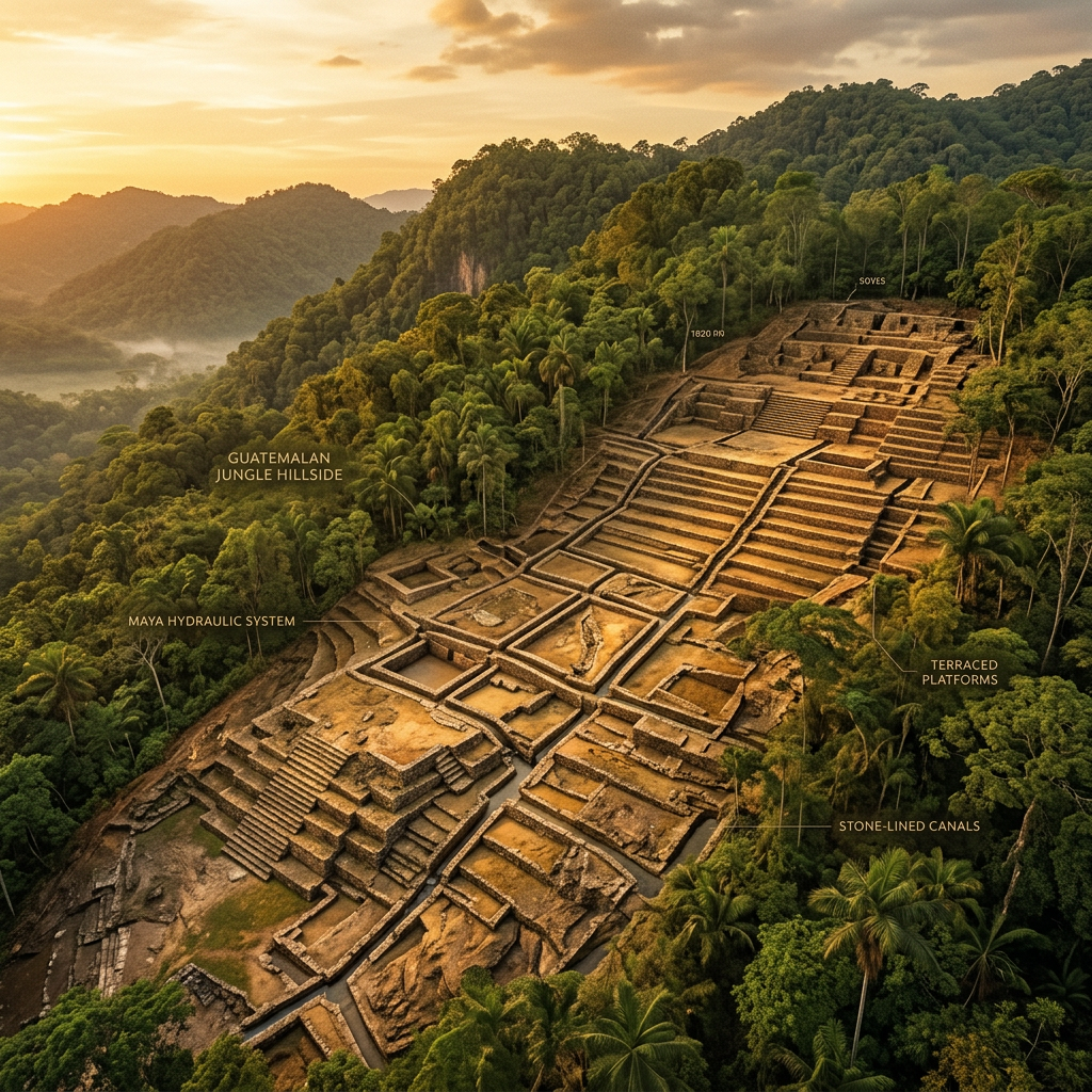
A groundbreaking LiDAR survey in the northern Mirador Basin of Guatemala has revealed a massive, previously unknown hydraulic system tailored for luxury agriculture. Termed a "Vertical Cacao-Hydration Grid," the network features a series of sluice-gated canals designed to deliver nutrient-rich water to terraced cacao groves built on steep limestone slopes, a feat of engineering previously thought impossible for the region.
The mapping data shows that 8th-century Maya engineers utilized gravity-fed pressure to manage irrigation across varying elevations, ensuring consistent humidity for the delicate cacao plants. This discovery challenges previous assumptions about the scale of pre-Columbian agricultural intensity and demonstrates a master-level understanding of micro-climatology and soil-nutrient management within the tropical jungle environment.