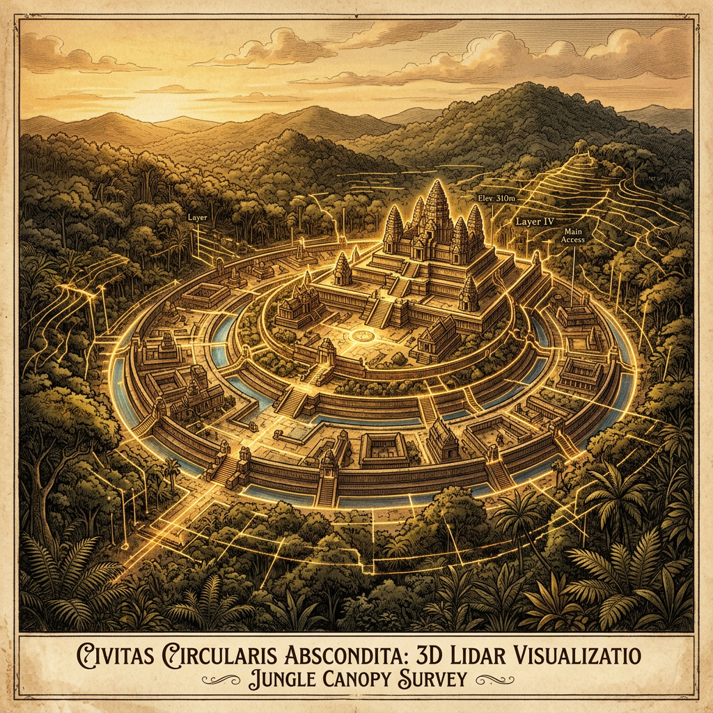
A high-resolution LiDAR survey conducted over the dense rainforests of the Upper Amazon Basin has mapped a previously unknown urban center defined by its celestial orientation. The city features a central concentric solar-observatory, a massive stone and earth platform designed to align with the solstices and equinoxes.
Surrounding the ritual center is an extensive network of fortified navigation canals, which allowed for the strategic movement of goods and people during the seasonal floods. This discovery provides compelling evidence for a highly organized, state-level civilization in the Amazon that integrated advanced astronomy with large-scale hydraulic engineering.