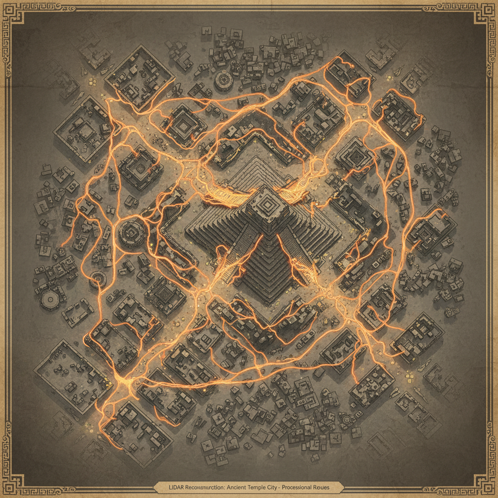
A high-resolution LiDAR survey of the ancient city of Pagan in Myanmar has revealed a lost network of "flower paths" connecting over fifty peripheral shrines. These causeways were designed to facilitate massive floral processions that are still echoed in modern Burmese Buddhist traditions.
The digital mapping shows that the paths were paved with specialized bricks designed to drain water, allowing festivals to continue even during the onset of the monsoon season. This research clarifies how the urban planning of the 11th-century capital was dictated by the requirements of cultural heritage and public ritual performance.